BorderTrails – The Classics
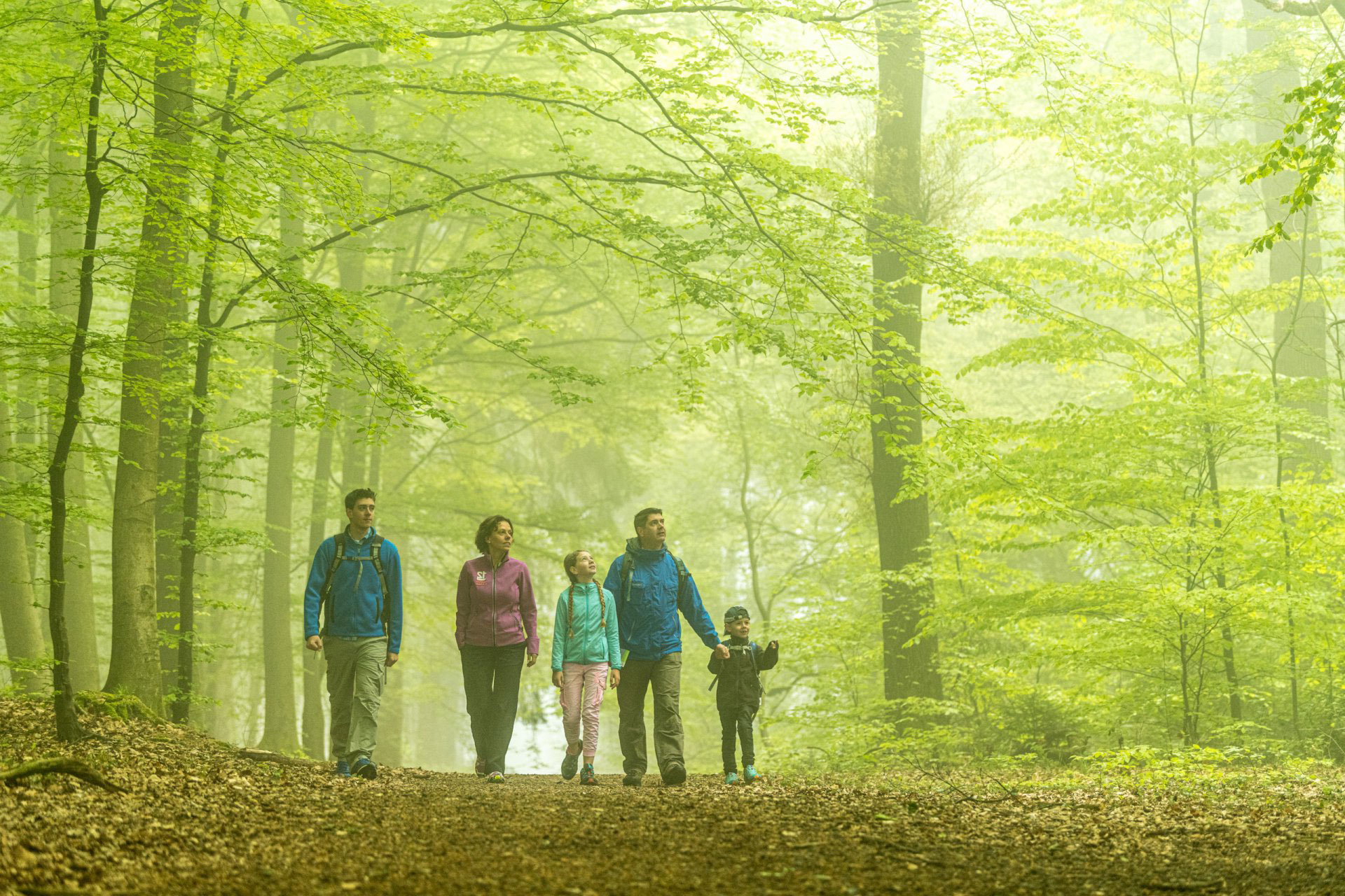
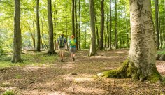
The BorderTrails form the backbone of a comprehensive regional, cross-border hiking trail network. The central axis runs for just under 30 kilometers from Raeren (B) through the Three-Country Point to Orsbach (D). It follows the course of the Belgian-German and Dutch-German borders. The connected loop trails offer exciting hikes ranging from 6 to 19 kilometers through three countries, in the areas around Aachen, Kelmis, Plombières, Raeren, and Vaals. The trails focus on specific themes, such as the history of calamine mining, the microstate of Neutral-Moresnet, and the ancient defense trench that once surrounded the Aachen Empire.
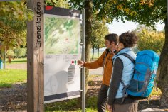
The sign with the red BorderTrails logo serves as a guide. At the starting points you’ll find orientation boards with a hiking map. Information panels along the route provide details about unique aspects of border history.
Here are three more classic suggestions for short tours around the Three-Country Point. All are marked with node network points.
BorderTrail 1 ·
Raeren – Orsbach Axis
From the Foot of the Eifel to Marl Country
BorderTrail 2 ·
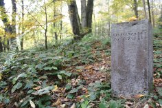
Neutral-Moresnet
Tracing a Forgotten State
BorderTrail 3 ·
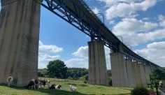
Plombières
Railroads and Mining in the Göhl Valley
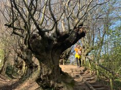
BorderTrail 4 ·
Defense Trench
A green reminder of a medieval border
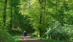
BorderTrail 5 ·
Aachen Forest
Exploring the “Öcher Bösch”
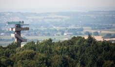
BorderTrail 6 ·
Vaals
Magnificent buildings and panoramic views

BorderTrail 7 ·
Orsbach
Cultural landscapes, nature conservation, and renewable energy
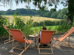
Köpfchen Loop Trail
Borders and Cyclopes
Three-Country Point Loop Trails
Long, Medium, and Short Loops