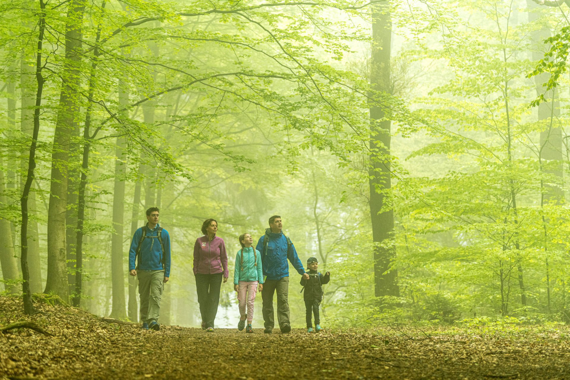
The main axis of the BorderTrails network brings together the region’s natural contrasts and historical diversity.
Raeren, Itertal, Lichtenbusch, Köpfchen, the Three-Country Point, Vaals, Schneeberg, Orsbach: these are the landmarks along the main axis of the BorderTrails. A single hiking trail connects many of the natural, scenic, and cultural-historical attractions that make the border region so appealing. The route winds through charming stream valleys and meadows, over the ridges of mountain ranges, and through a variety of types of forest.
Free hiking app: Information and offline maps are available here in the hiking app (Android & iOS) and on the Aachen Region’s hiking portal.
RouteHighlights & More
Places of Interest:
- Pottery Museum, Raeren
- Brandenburg, Sief
- Iter Valley
- Göhl Valley
- Cyclopes Stones, Raeren
- Border Beech Trees & Landgraben
- Köpfchen Border Crossing
- West Embankment
- Three-Country Point
- Baudouin Tower
- Wilhelmina Tower
- Kleng Wach, Vaals
- Historic Town Center, Vaals
- Schneeberg Chapel, Vaalserquartier
- Schneeberg, Vaalserquartier
- Wind Farm, Vetschau
- Orsbach Castle
Food and Drink:
- Raeren
- Lichtenbusch
- Grenzübergang Köpfchen
- Hauset
- Aachen-Orsbach
- Dreiländerpunkt
- Vaals

Click on the symbol:
Raeren: From the 15th through to the 18th century, Raeren was one of the most renowned centers of pottery craftwork in the Rhineland. The Pottery Museum, located within the historic castle complex, showcases Raeren stoneware (a European Cultural Heritage site since 2007) and Rhineland stoneware from past centuries, as well as Roman ceramics, tools of the trade, and modern ceramics from the Euregio Meuse-Rhine.
Iter Valley & Brandenburg Castle: The headwaters of the Iter are located in Raeren. The hiking trail follows the stream through meadows and fields eastward across the border into Germany. From Sief, the border trail leaves the Iter Valley and heads north toward Brandenburg Castle, a restored medieval manor with an adjoining nave from a convent. The Iter continues to flow eastward; you can follow it via Eisenhütte to Kornelimünster.
Göhl River: This small river starts in Belgian territory near the German-Belgian border, fed by three springs. The most beautiful is the Quellsee (“spring lake”) in the forest north of the Hebscheider Heide, about 300 meters off-route.
Cyclopes Stones: Directly on the German-Belgian border, near the former Köpfchen border crossing, large boulders protrude from the forest floor. These are remnants of a past shaped by water. More than 100 million years ago, the Cretaceous Sea advanced steadily from what is now the Netherlands, leaving behind deposits known as the Aachen Sands. These sands, which were originally loose, became cemented together in places to form large sandbanks that eventually broke down into individual boulders. The boulders, in turn, were rounded by the ocean surf and, over millions of years, were exposed again through weathering and erosion.
Border Beech Trees and the Aachen Land Trench: Within the sightline of the Cyclopes Stones, the “Head” or “Harp” beech trees stand in all their splendor on the embankment of the Aachen Land Trench.
Köpfchen is the former border crossing on Eupener Straße, between Aachen (Germany) and Raeren (Belgium). The heavy freight traffic in the 1950s led to the construction of the border hut in the middle of the road on the Belgian side. When the facilities were abandoned after the border opened in 1995 (under the Schengen Agreement), they suffered rapid decay. The founding of the German-Belgian association “Kunst und Kultur im Köpfchen” (KuKuK- “Arts and Culture at Köpfchen”) in 2000 finally secured the preservation of the Belgian customs building. Since then the site has come alive with diverse and well-attended cultural events.
West Embankment: This is a relic of Nazi war policy that has been preserved as a defining feature of the landscape in many places throughout the Aachen region—including a site south of Rotsiefweg and west of Köpfchen. Between 1936 and 1938 more than 14,000 bunkers, tunnels, and a 76-kilometer-long line of anti-tank mounds were constructed. Some of the mounds, also known as “Hitler’s asparagus,” are now designated as historic landmarks and have, over time, become a refuge for many rare plants and animals.
Defense Trench: Further along Route 1, after passing through the Köpfchen border crossing, you briefly cross the border again, traversing the Defense Trench known as the Aachen Landgraben. Here a very beautiful ensemble consisting of a rampart, a stone featuring an eagle, and border beech trees still stands intact. A little further on, just past the Schmalzloch hut, you can once again admire majestic border beeches a short distance off-route. Via Entenpfuhl and Preuswald, past the Mulleklenkes telecommunications tower, you reach another beautiful section of the old Aachen Landwehr along the Pilgrimage Trail at the Belgian-German border.
Three-Country Point: Because the borders of three countries meet here on the Vaalserberg, this location has become a tourist attraction, drawing more than 800,000 visitors from around the world each year. At 322.5 meters above sea level, the Vaalserberg is the highest point in the Netherlands.
Today the Three-Country Point also symbolizes the connections between the residents of the tri-border region and European integration.
Near the Wilhelmina Tower you’ll come across another eagle stone situated right in the middle of the path. Along the panoramic trail at the edge of the forest you can enjoy impressive views of the Aachen Basin.
Kleng Wach: This former border outpost was built between 1880 and 1900. It served as a customs crossing for pedestrians until 1972, though it was mostly closed during the wars. Today it houses the Netherlands’ smallest and highest-altitude museum, which focuses primarily on the history of smugglers. On the west side is an eagle stone crafted in bluestone.
Historic Vaals: It’s worth taking a 30-minute detour off route to explore the ensemble of Baroque houses on Clermontplein.
Tank Barrier & Schneeberg Chapel: On the southern slope of the Schneeberg you’ll find a 350-meter-long tank barrier. This was part of the West Embankment and reinforced the Höcker Line.
Just across from here is the path leading to the Schneeberg Chapel, which local farmer Wilhelm Maßen built between 1945 and 1960 with the help of the artist Hodiamont. During the latter part of the Second World War in 1944 many bombs fell, and he vowed at the time to build a chapel if the people were spared.
Schneeberg & Vaalser Heuvel country: To the west of the city of Aachen, between Laurensberg and Vaals, the landscape is characterized by hills of chalk marl. The limestone slopes, their soils, and their vegetation are an ecological feature unique to the region, and sparse dry grasslands and other vegetation thrive here. The Schneeberg owes its name to the white color of the chalk marl. The forested hill, together with the narrow hedgerows along the path to Orsbach are largely designated a nature reserve. From here a sweeping view extends across the valley, all the way to Vijlen.
Orsbach Castle: In the historic village center, right next to the church, a massive rubble-stone structure stands out: Orsbach Castle. It was built toward the end of the 14th century.
Vetschau Wind Farm: Since its construction in 2001, impressive wind turbines have dominated the landscape of the German-Dutch border region northeast of Orsbach.