Shortly after setting off from Aachen central railway station, the Burtscheid Spa Gardens provide a green start to the route. High above, the Baroque Abbey Church of St John, designed by the Aachen architect Johann Joseph Couven, towers over the landscape, serving as a reminder of the territory of the former Burtscheid Abbey, which remained independent for centuries. It dates back as far as the year 999. The church treasury is well worth a visit and has many stories to tell. The radiantly white old town hall at the park’s exit, with its neoclassical gold embellishments, also proudly reminds us that Burtscheid was an independent town until 1892, when it was incorporated into Aachen City.
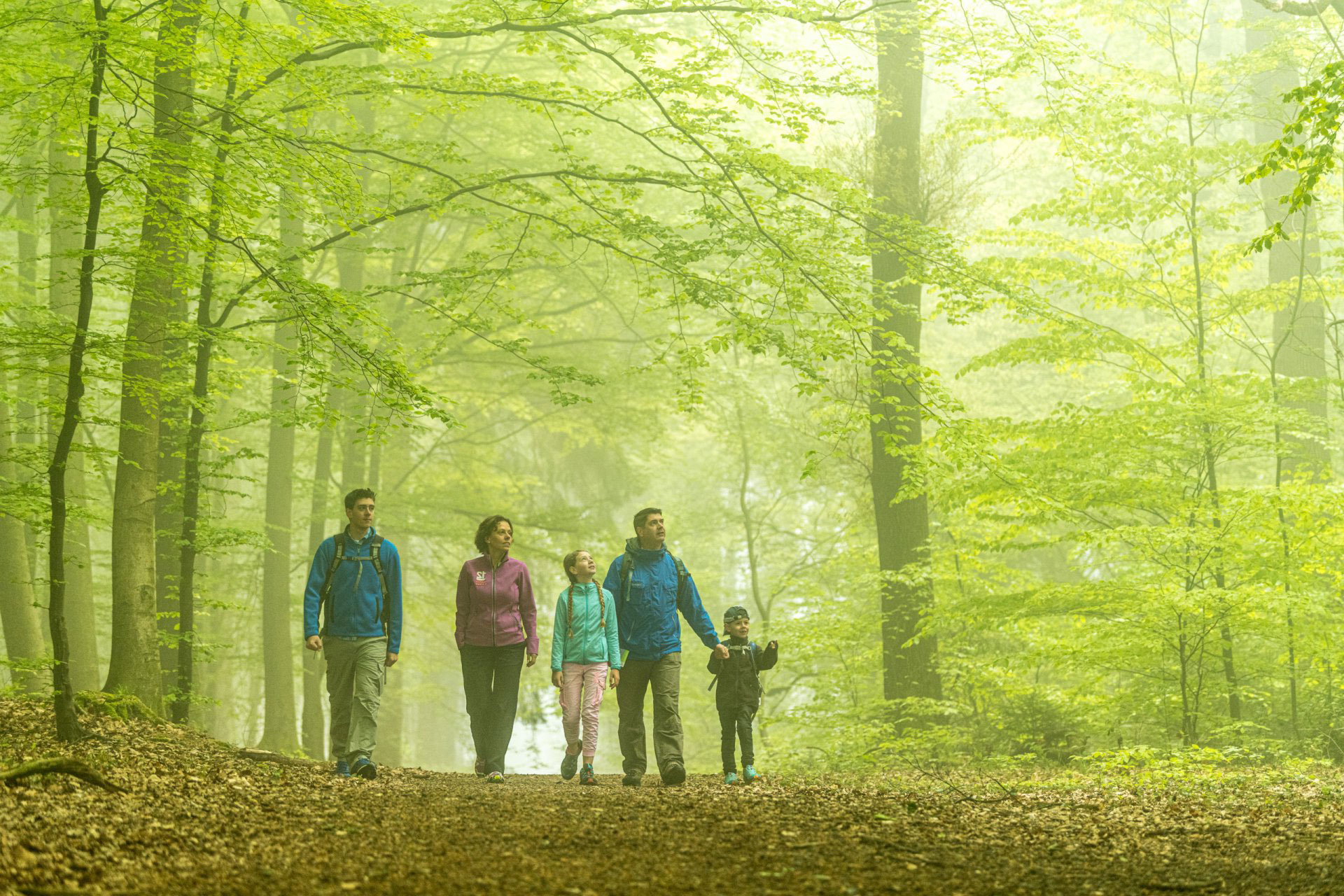
Then we immerse ourselves in greenspaces and countryside, as our route follows the Gillesbach river from the city, right into the forest. The Gillesbach is one of Aachen’s many small streams that originate in the heights of the Aachen Forest and flow through the Aachen Basin. Here in the south of the city, the streams are often still visible before they disappear as they are channelled underground.
At the edge of the forest vast pastures, orchards and the Waldhausen Estate create a rural atmosphere. At the Milchstübchen we can draw and purchase fresh milk and stock up on regional produce. Benches and a playground by the Kupferbach Reservoir invite us to take a break. Like its counterpart in Diepenbenden, the reservoir dam built in 1923 was designed to ensure a steady, silt-free flow of the channelled streams. It also provided a source of enjoyment: records from 1928 show there were thousands of boat trips on the reservoir.
The route then climbs gently but steadily. To reach the Köpfchen Border Crossing you’ll need to climb some metres in altitude through the Aachen Forest. The Elleterweg runs as a sunken path along the hill of the same name. Running parallel to this you can make out the embankment of the old defense trench (“Landgraben”) with its stately beech trees, which date back to the former defensive hedge. From the 15th century onwards it marked the border between the Aachen Empire and the territory of Burtscheid Abbey, which began to the east of the path, extended as far as the Beverbach stream and stretched northwards to the centre of Burtscheid and Frankenberg Castle.
On the way to the Köpfchen Border Crossing – now a vibrant cultural centre and café – we can encounter the rampart once more, now with bizarre overgrown beech trees. Here it separated the Aachen Empire from the Duchy of Limburg.Later, until 1611, it served as the ‘Spanish Border’, separating the Aachen Empire from the Dutch-Spanish Habsburg Empire. We can take a break alongside the imposing, spherical Cyclops Stones – which were sculpted over millions of years from the bedrock of Aachen’s sandstone – and in the cafés at the border crossing, before returning to the starting point by bus.